
GIS-Mapped Field Telemetry
Centralize your field operations. Monitor geographically dispersed water tanks, streetlights, and industrial assets instantly on an interactive, pre-configured map with zero-configuration systems integration.
Three Steps to Total Visibility
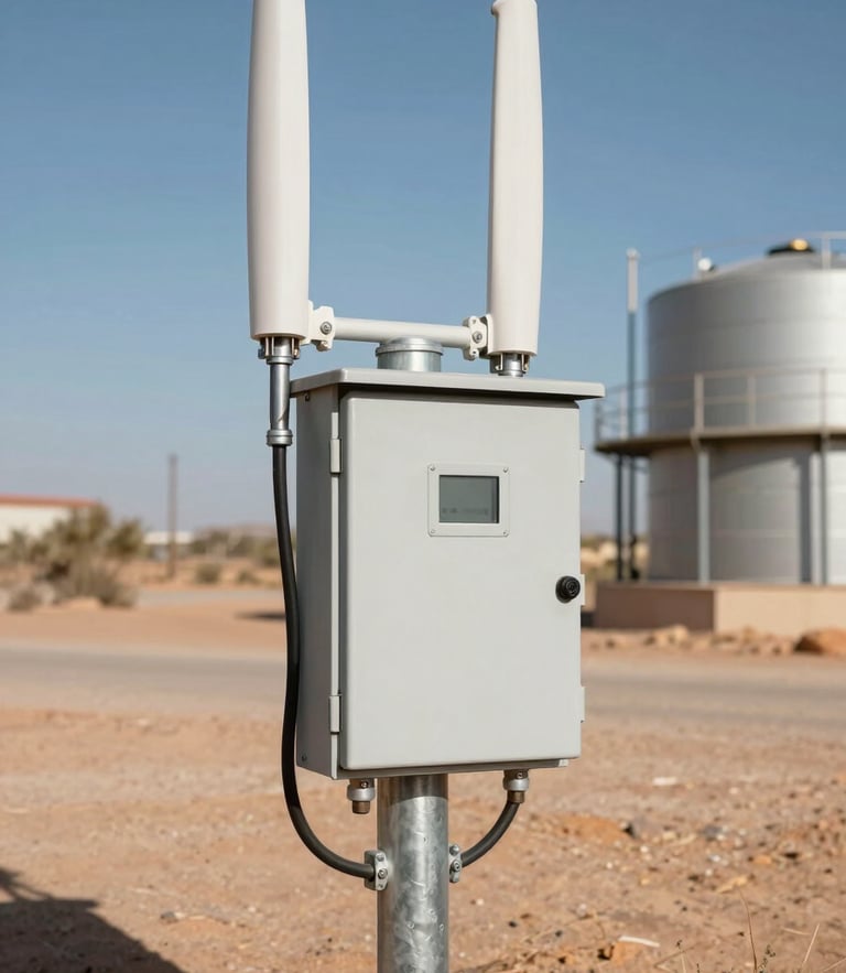
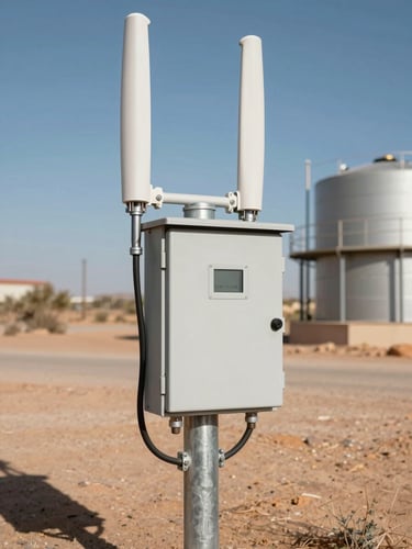
Our integrated telemetry hardware automatically transmits GPS coordinates and sensor data to the cloud. No custom programming, manual database setup, or complex integration is required to start monitoring.
Auto-Provisioning
Instant Alerts
Compliance Export
Hardware units broadcast GPS coordinates immediately upon power-up, instantly auto-populating your secure GIS dashboard with active telemetry streams.
Configure custom rules to receive immediate SMS and email alerts the second a tank level drops or a streetlight timer fails to trigger.
Log historical telemetry data continuously. Export clean, formatted CSV reports for municipal compliance audits and agricultural resource planning.
Ready for the Field
Equip your operations team with centralized, bulletproof telemetry. Deploy Bamo Electronics cloud mapping to eliminate manual inspection routes and secure your off-grid infrastructure.